library(spatialsample)

folds <- spatial_clustering_cv(boston_canopy, 2)

all.equal(
  get_rsplit(folds, 1),
  folds$splits[[1]]
)
[1] TRUEThe newest version of spatialsample, the tidymodels package I maintain for spatial cross-validation, just landed on CRAN, with binaries for Windows and Mac coming in the next few days.
This release mostly fixes a few bugs in spatial_block_cv() and spatial_nndm_cv(). The only new feature is that get_rsplit() is now reexported from rsample, providing a nicer interface for extracting individual rsplit objects from an rset:
library(spatialsample)
folds <- spatial_clustering_cv(boston_canopy, 2)
all.equal(
get_rsplit(folds, 1),
folds$splits[[1]]
)[1] TRUEMore pressing are two sets of breaking changes. The first of these is that spatial_block_cv() now creates slightly different grids, covering a very slightly larger area, which may change what fold any given observation is assigned into. This is to address a problem reported on StackOverflow where, if data fell exactly on grid lines (which was somewhat common with regularly-spaced grids of data), it would be assigned to both of the polygons on either side of the line.
The amount of grid expansion performed can be controlled using the new expand_bbox argument to spatial_block_cv(). If observations are still assigned to multiple folds, the function will now throw an error:
drought_sf <- sf::st_as_sf(
  expand.grid(
    x = seq(995494, 1018714, 430),
    y = seq(1019422, by = 430, length.out = 55)
  ),
  coords = c("x", "y"),
  crs = 7760
)

try(spatial_block_cv(drought_sf, expand_bbox = 0))
Error in generate_folds_from_blocks(data, centroids, grid_blocks, v, n, :
Some observations fell exactly on block boundaries, meaning they were assigned to multiple assessment sets unexpectedly.
ℹ Try setting a different `expand_bbox` value, an `offset`, or use a different number of folds.But hopefully the expansion will make this error relatively uncommon:
folds <- spatial_block_cv(drought_sf)

autoplot(folds)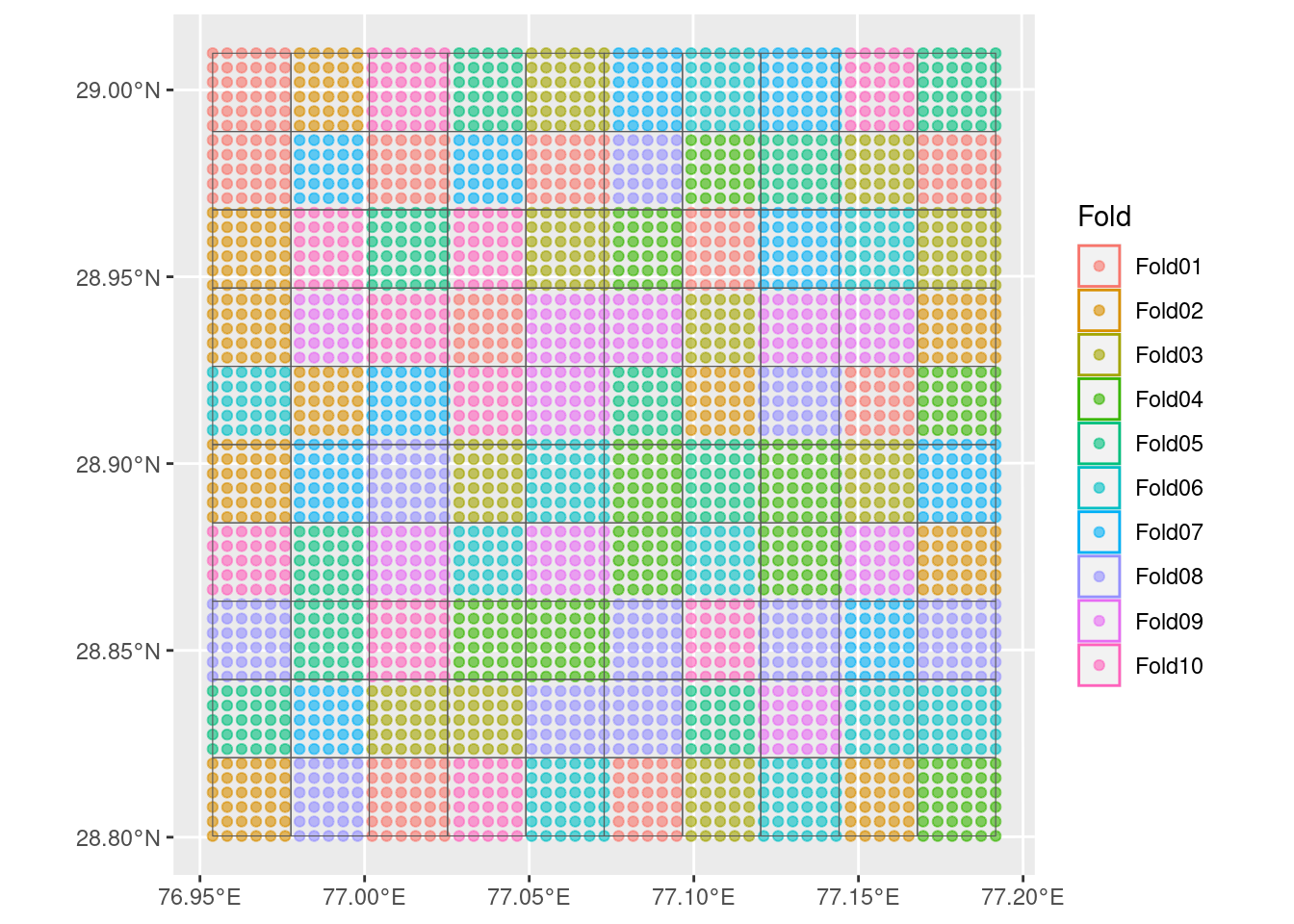
This is a breaking change for data in projected coordinate reference systems. Data in geographic coordinates was actually already using these slightly larger grids, due to issues with straight-line grids in non-planar CRS, so this change just makes the amount of grid expansion controllable there.
The other breaking change/bug-fix is in spatial_nndm_cv(). The prediction_sites argument to spatial_nndm_cv() lets you specify the actual sites you were going to generate predictions at. In older versions of spatialsample, if any of the data in prediction_sites weren’t points, then this function would instead randomly sample points from inside the bounding box of the entire prediction_sites object.
Starting with spatialsample 0.5.0, passing a single polygon to prediction_sites will cause spatial_nndm_cv() to instead sample points from inside that polygon, allowing you fine-grained control over the boundaries for this sampling stage. This feels like a more intuitive interface, and you can always revert to previous behaviors by passing sf::st_as_sf(sf::st_as_sfc(sf::st_bbox(prediction_sites))) if you’d rather sample from the bounding box instead.